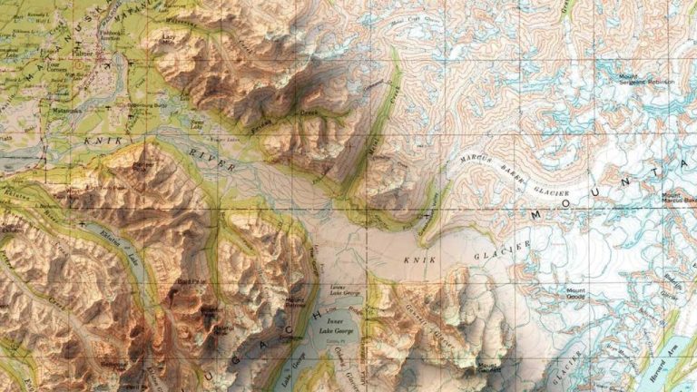
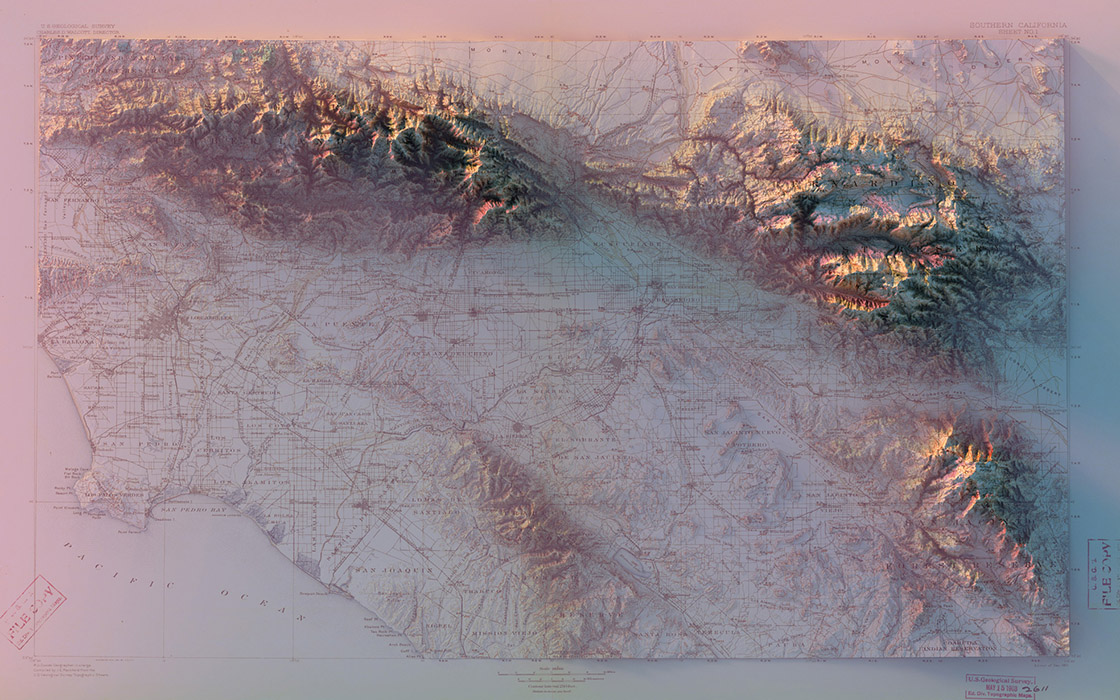
Scott Reinhard combines modern uplands with historical maps, creating three-dimensional terrain of specific regions, cities or states.
Scott Reinhard is a talented graphic designer from Brooklyn who is passionate about creating three-dimensional maps that combine modern uplands with historical maps. Its goal is to create a visual and informative way to represent the geographical features of different regions, cities and states.
Reinhard uses elevation data from the U.S. Geological Survey to create his unique maps, combining them with location information and the original design of old maps. This approach allows him not only to accurately depict the topography of the area, but also to add historical context.
The process of creating hybrid maps is laborious and requires attention to detail. Reinhard uses various digital tools and techniques to combine different data sets, and then painstakingly works through each element of the map to create a holistic and harmonious image.
Reinhard’s works are not only impressive in their beauty, but also have practical benefits. They can be used for travel planning, geography studies, as well as for conducting research in the field of geology and ecology.

Leave Your Comment: